
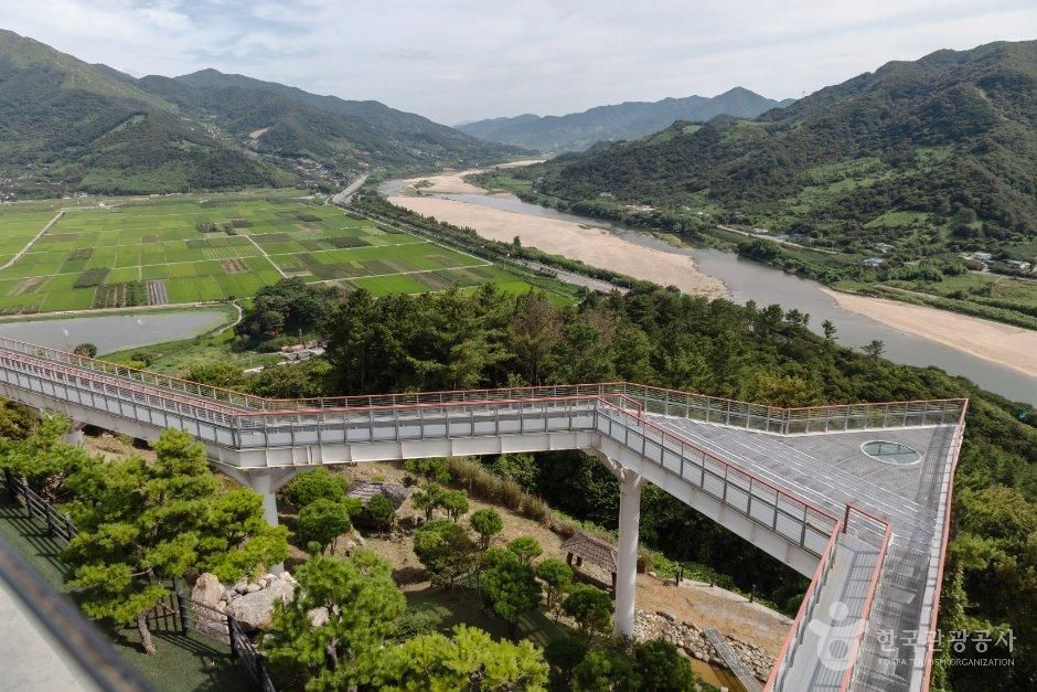
 스타웨이하동
At a glance
Good to know now
Parking is available. Information line: 055-884-7410.
Hours
09:30–18:30; last entry 30 minutes before closing. Opening may be limited during repairs, and hours or routes can change for bad weather or safety.
Closed
Open all year.
Booking
KKday sells a seasonal tour from Busan during the Jinju lantern festival that stops here in the late afternoon.
Starway Hadong is a star-shaped lookout built out from the hillside about 150 m above the Seomjin River. To the east spread the Pyeongsa-ri fields, the setting of Park Kyong-ni's saga novel Toji (Land); to the southwest the Jirisan ridges run from Baegunsan all the way to Nogodan. The skywalk lets you walk out over the drop with the river curving below, and you can linger over a cup of tea with the view.
Book ahead
Paid links · These are affiliate links: when you book through them, K for All earns a commission at no extra cost to you. Booking, payment, cancellations and refunds are handled by the booking site — check its final terms before you pay.
Places to stay nearby
Paid links · Expedia links are affiliate links: when you book through them, K for All earns a commission at no extra cost to you. Distances are rough straight-line figures. Pick your dates on Expedia for live prices, and check each property's cancellation policy before you book.
Hadong Today Sun Hanok Traditional House
Northeast of Starway Hadong
About 5.5 km away
Map
Numbers match the list. Map data © OpenStreetMap contributors.
Tips
- Last entry is at 18:00, so arrive by late afternoon if you want time on the skywalk.
Nearby
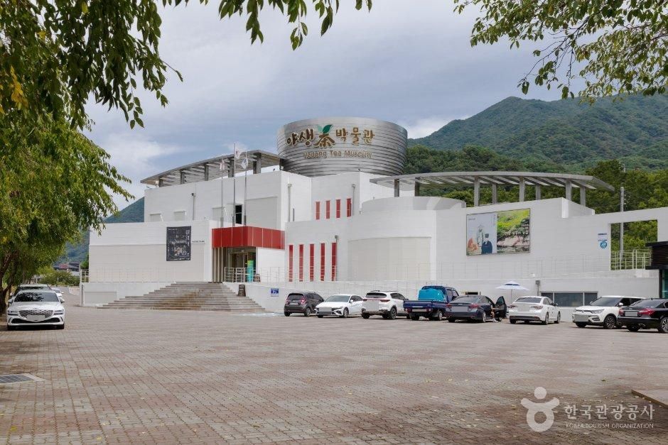 Hadong Wild Tea MuseumA free museum in Hwagae, the valley said to be where tea was first planted in Korea, with hands-on tea ceremony, picking and roasting classes.
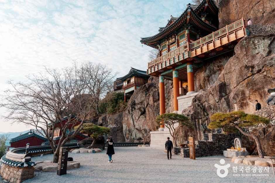 Saseongam HermitageA hermitage on the summit of Osan near Gurye, its Medicine Buddha hall wedged into 20 m rocks above the Seomjin River and Jirisan's ridges.
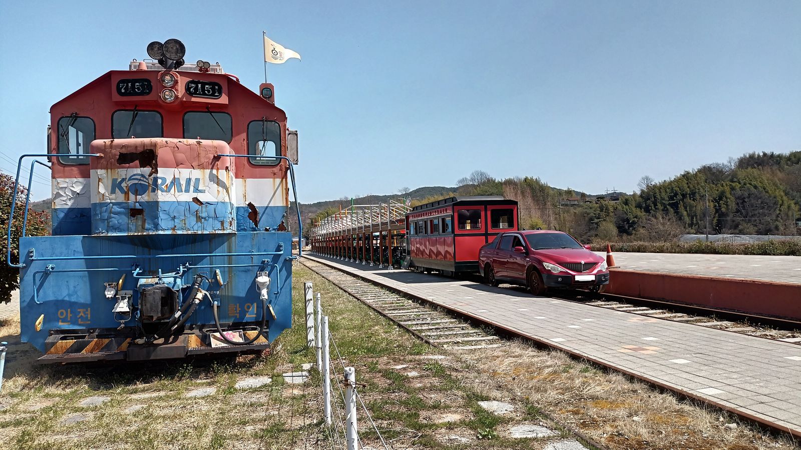 Hadong Rail ParkA rail bike ride on a disused line in Bukcheon, Hadong: a train tows you out to Yangbo Station, then you pedal 5.3 km back on a gentle downhill.
Facts and main photo: Korea Tourism Organization (TourAPI). The photo is used under KOGL Type 1 (Korea Open Government License, attribution). KOGL
Sources (2)
Checked Oct 18, 2026