
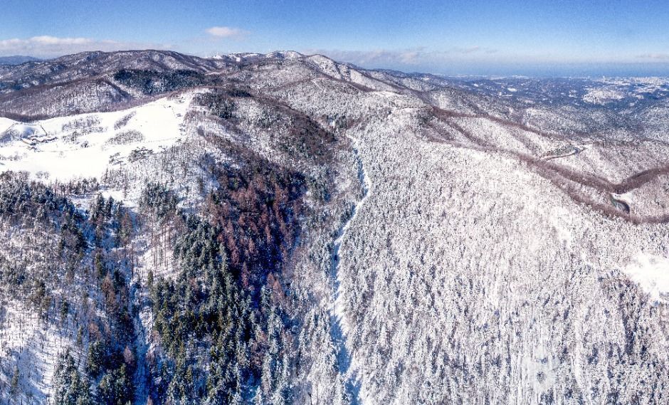
 선자령
At a glance
Good to know now
Information: Daegwallyeong Forest Trail Information Center, 033-336-4037.
Hours
Open at all times.
Closed
Open all year.
Booking
Winter snow-flower hiking day trips from Seoul are on Klook and KKday; the KKday version adds natural-snow sledding.
Seonjaryeong is a peak on the Baekdudaegan ridge, on the line between Pyeongchang's Daegwallyeong-myeon and Gangneung's Seongsan-myeon. Before the Daegwallyeong road existed, this was the way over the mountains to the east coast. The summit looks out over Odaesan, Gyebangsan, Balwangsan and Hwangbyeongsan. Most hikers come in winter, when snow and frost coat the trees along the ridge.
Book ahead
Paid links · These are affiliate links: when you book through them, K for All earns a commission at no extra cost to you. Booking, payment, cancellations and refunds are handled by the booking site — check its final terms before you pay.
Seonjaryeong Pass · 2 tours & tickets- KlookSnow-flower hiking from Seoul: Taebaeksan sunrise & SeonjaryeongA winter-season hiking day trip from Seoul with the Seonjaryeong snow-flower trail as one of the route options.Book
- KKdaySnow-flower day hike from Seoul: Seonjaryeong or Taebaeksan sunriseA winter day tour from Seoul: a snowy hike on Seonjaryeong with natural-snow sledding (a Taebaeksan sunrise hike is the other option).Book
Places to stay nearby
Paid links · Expedia links are affiliate links: when you book through them, K for All earns a commission at no extra cost to you. Distances are rough straight-line figures. Pick your dates on Expedia for live prices, and check each property's cancellation policy before you book.
Daegwallyeong Solbawee Log-Housing Pension
South of Seonjaryeong Pass
About 6.1 km away
Map
Numbers match the list. Map data © OpenStreetMap contributors.
Tips
- Go in winter for the snow flowers on the ridge, and dress for cold and wind on the open crest.
- On a clear day, look for Odaesan to the northwest and Balwangsan to the south from the summit.
Nearby
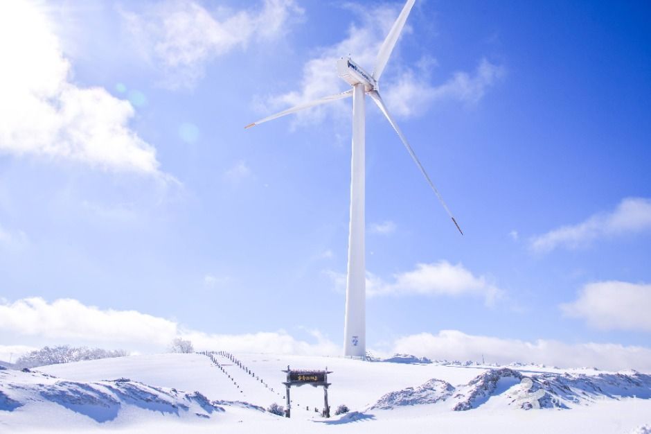 Samyang RoundhillA vast highland ranch at 850–1,470 m, with wind turbines along the ridge, a sheepdog show in the green season and organic milk ice cream.
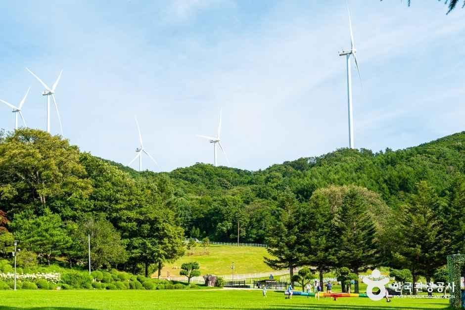 Daegwallyeong Sky RanchA highland dairy ranch near the Daegwallyeong pass, toured by a 45-minute tractor wagon ride and seen in BLACKPINK's Lovesick Girls video.
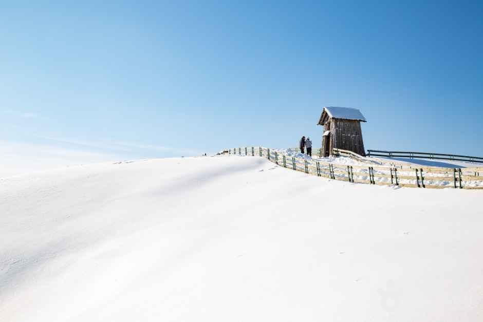 Daegwallyeong Sheep FarmA hillside sheep farm on the Daegwallyeong plateau, where a loop trail leads past grazing flocks to a 920 m lookout.
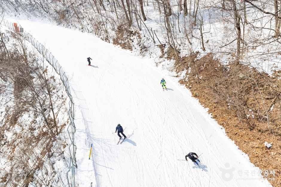 Mona Yongpyong Ski ResortKorea's veteran ski resort, opened in 1975 on the slopes of Balwangsan, whose Rainbow run hosted alpine races at the 2018 Winter Olympics.
Facts and main photo: Korea Tourism Organization (TourAPI). The photo is used under KOGL Type 1 (Korea Open Government License, attribution). KOGL
Checked Oct 18, 2026