
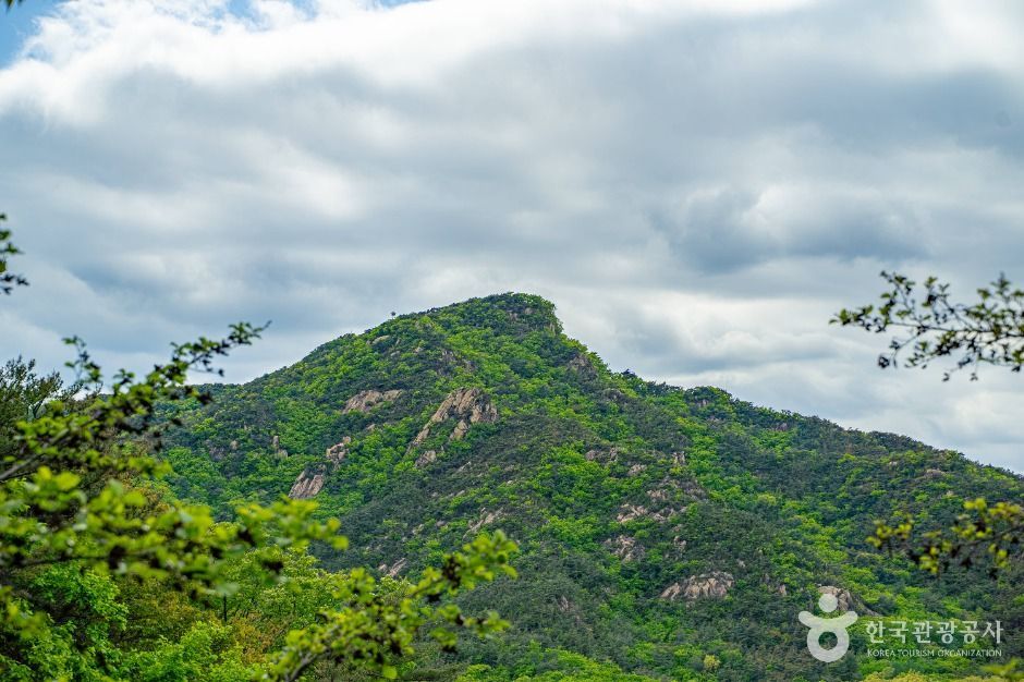
 관악산
At a glance
Good to know now
Parking is available. A barrier-free forest trail has been built on the mountain. Contact: Gwanak-gu Office, 02-879-6552.
Closed
Open all year.
Booking
Klook sells a 4.5-hour group hike from the Seoul National University side with lunch and snacks, and GetYourGuide a 9-hour private trek to the summit and Yeonjuam.
Gwanaksan (632.2 m) takes its name from the rocks at its summit, which look like someone wearing a traditional gat hat, and in 1973 it gave its name to the new Gwanak-gu district. Designated an urban nature park in 1968, it is close enough to downtown for a day hike, yet its rocky peaks and deep valleys make it feel rugged. Cherry blossoms line the entrance in spring, an azalea festival is held when they bloom, and the valleys hold East and West Falls. Temples and hermitages dot the slopes, including Wongaksa and Yeonjuam near the summit, and Yeonjudae, set on a sheer cliff, is where all the trails meet.
Book ahead
Paid links · These are affiliate links: when you book through them, K for All earns a commission at no extra cost to you. Booking, payment, cancellations and refunds are handled by the booking site — check its final terms before you pay.
Gwanaksan Mountain · 3 tours & tickets- KlookGwanaksan hiking tourA 4.5-hour group hike from the Seoul National University side, with lunch and snacks included.Book
- GetYourGuideMt. Gwanaksan full-day trekA 9-hour private trek to the 632 m summit and Yeonjuam hermitage, with a boxed lunch.Book
- Trip.comGwanaksan, Eunpyeong Hanok Village & JingwansaA day tour from Seoul with a hike on Gwanaksan, Eunpyeong Hanok Village and Jingwansa Temple.Book
Places to stay nearby
Paid links · Expedia links are affiliate links: when you book through them, K for All earns a commission at no extra cost to you. Distances are rough straight-line figures. Pick your dates on Expedia for live prices, and check each property's cancellation policy before you book.
Shilla Stay Guro Digital Complex Station
Northwest of Gwanaksan Mountain
About 6.1 km away
Four Points by Sheraton Seoul, Guro
Northwest of Gwanaksan Mountain
About 6.2 km away
Map
Numbers match the list. Map data © OpenStreetMap contributors.
Tips
- The main trailhead is at the Seoul National University entrance in Sillim-dong; another route climbs from behind Gwacheon Middle School in Gwacheon, Gyeonggi-do.
- Yeonjudae sits on a cliff edge where all the trails meet, so take care on the rocky final stretch.
Nearby
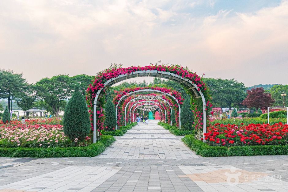 Seoul Grand ParkA big park on the slopes of Cheonggyesan in Gwacheon, home to the Seoul Zoo, a botanic garden with about 1,600 plant species and forest trails.
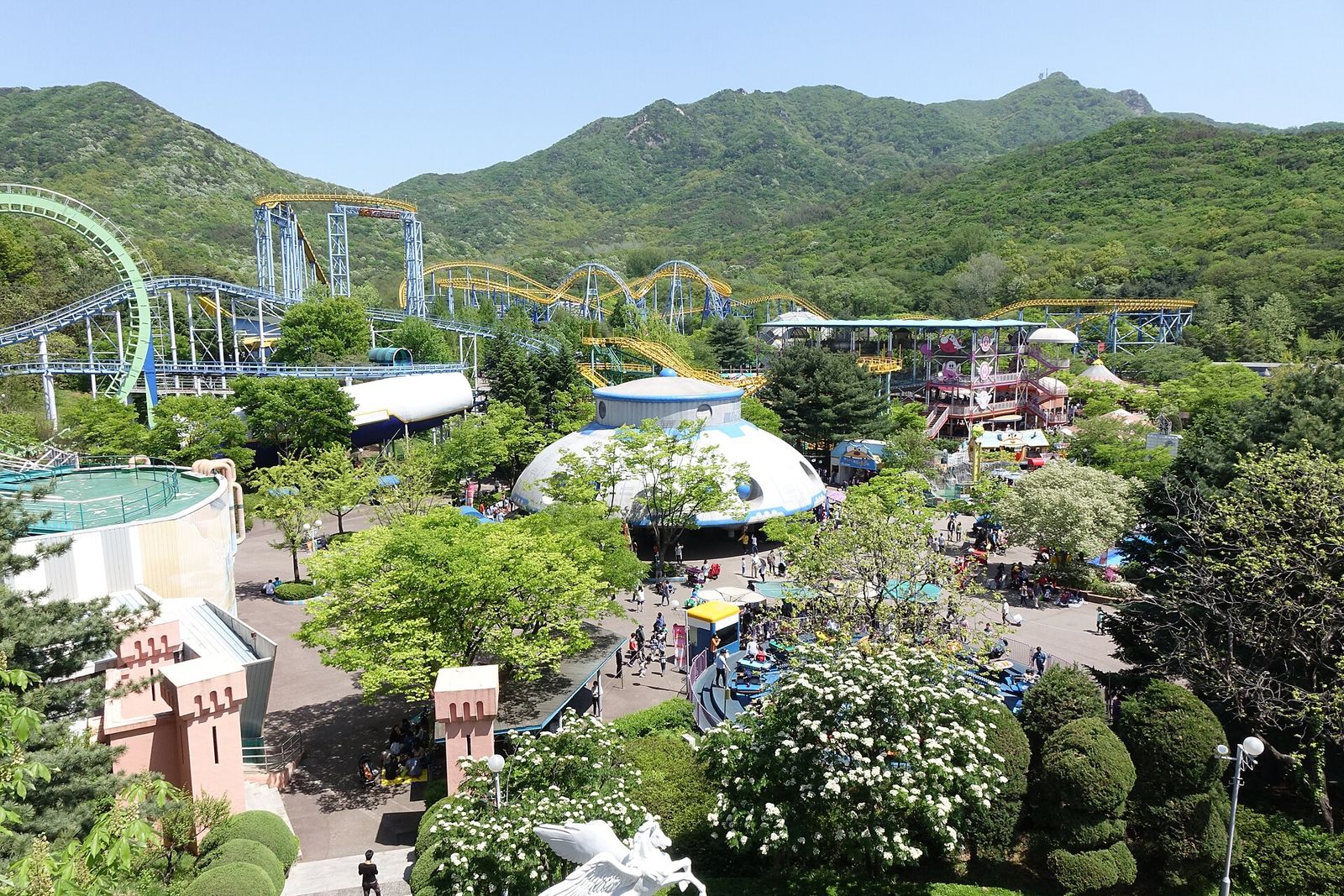 Seoul LandA family theme park beside Seoul Grand Park in Gwacheon, with about 50 rides, the giant Kraken Island play structure and a dinosaur hall.
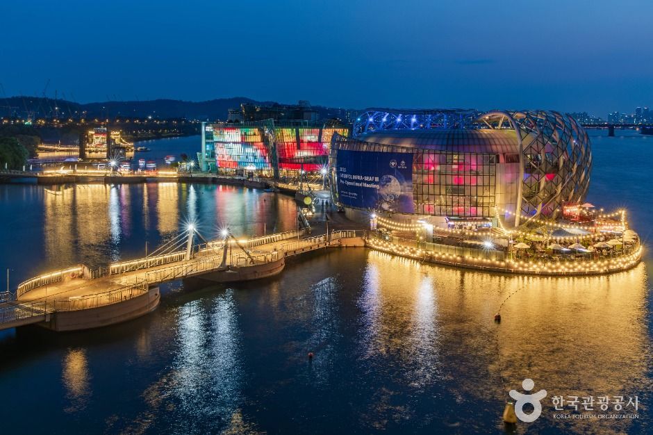 Some SevitThree floating buildings on the Han River beside Banpo Bridge, lit up at night, with a media art gallery and a pier for yacht rides.
 Banpo Bridge Moonlight Rainbow FountainJets of river water pour from both sides of Banpo Bridge in time to music and glow in rainbow colors at night, from mid-March through October.
Facts and main photo: Korea Tourism Organization (TourAPI). The photo is used under KOGL Type 1 (Korea Open Government License, attribution). KOGL
Checked Oct 18, 2026