
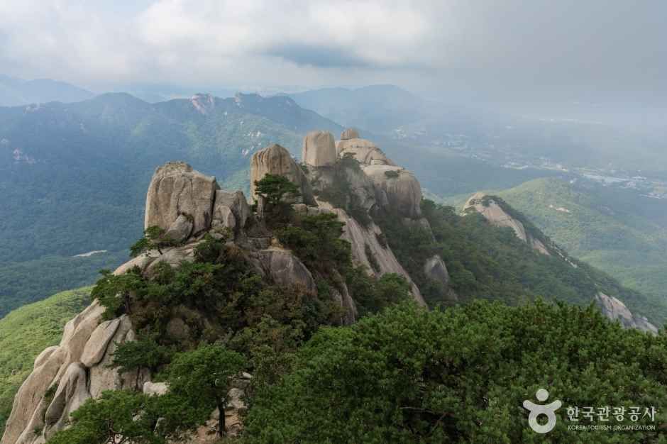
 북한산국립공원
At a glance
Good to know now
Parking is available. Information line: 02-909-0497.
Hours
Open at all times, though trails can be closed because of weather.
Closed
Open all year, subject to weather closures.
Booking
Guided hikes are sold on Klook (a Baegundae summit course and a sunset summit hike) and GetYourGuide (a 6-hour hike and a guided national park hike).
Bukhansan became Korea's 15th national park and is a rare example of a national park inside a big city. It covers about 76.9 km² across Seoul and Gyeonggi-do and is split at Uiryeong Pass into the Bukhansan area to the south and the Dobongsan area to the north. Weathered granite gives it bare domes and cliffs such as Insubong and Samobawi, and peaks like Seoninbong and Jaunbong crown Dobongsan. Some 1,300 species of plants and animals live in its valleys, alongside Bukhansanseong Fortress and about 100 temples and hermitages; the highest peak is Baegundae.
Book ahead
Paid links · These are affiliate links: when you book through them, K for All earns a commission at no extra cost to you. Booking, payment, cancellations and refunds are handled by the booking site — check its final terms before you pay.
Bukhansan National Park · 4 tours & tickets- KlookBukhansan summit courseA guided hike of about 4–5 hours to Baegundae, Bukhansan's highest peak.Book
- GetYourGuideBukhansan hiking tour (6 hours)A 6-hour guided hike on Bukhansan.Book
- GetYourGuideHiking in Bukhansan National ParkA guided hike in Bukhansan National Park.Book
- KlookBukhansan summit sunset hikeA guided hike timed to reach a Bukhansan summit around sunset.Book
Places to stay nearby
Paid links · Expedia links are affiliate links: when you book through them, K for All earns a commission at no extra cost to you. Distances are rough straight-line figures. Pick your dates on Expedia for live prices, and check each property's cancellation policy before you book.
Arirang Hill Hotel Dongdaemun
Southeast of Bukhansan National Park
About 3.7 km away
Bukchonmaru Hanok Guesthouse
South of Bukhansan National Park
About 4.3 km away
Map
Numbers match the list. Map data © OpenStreetMap contributors.
Tips
- Trails can close at short notice in bad weather, so check the Korea National Park Service website (knps.or.kr) on the day.
- For the top of Baegundae, the Klook summit course gives a guided 4–5 hour hike.
Nearby
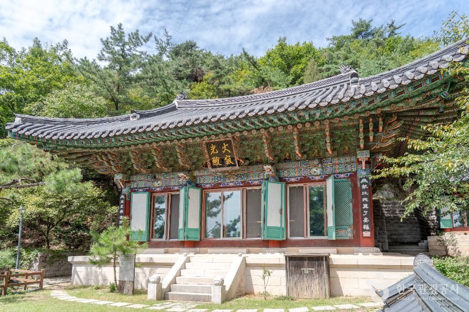 Geumseonsa TempleA pine-scented mountain temple on Bukhansan's Bibong trail in Jongno, with a templestay program for visitors.
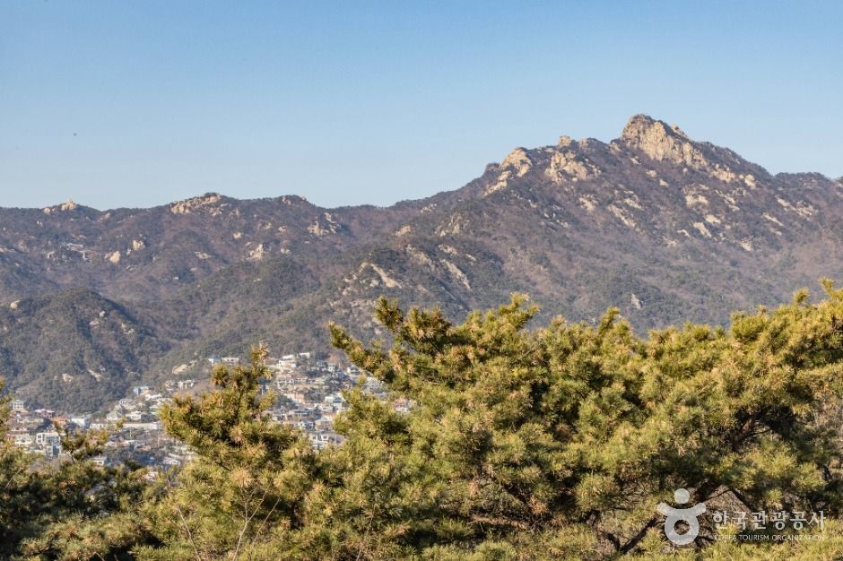 Bugaksan MountainThe 342 m peak behind Gyeongbokgung, where Seoul's old city wall begins, with oak woods and seasonal trail hours.
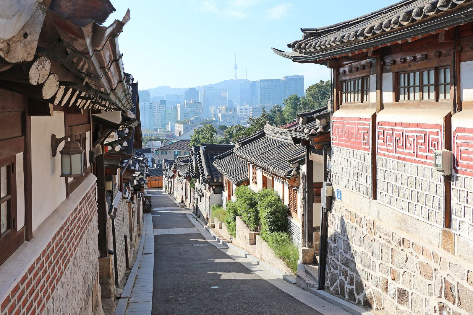 Bukchon Hanok VillageWalk lanes of lived-in hanok between two palaces, with tiled-roof views over Seoul — quietly, and only 10:00–17:00 in the Red Zone.
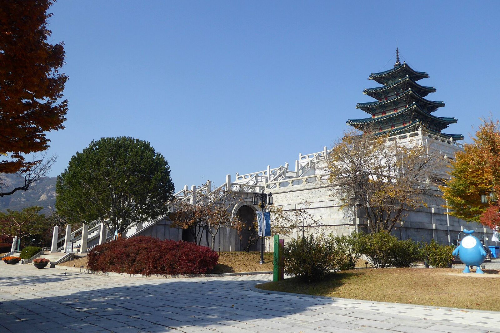 National Folk Museum of KoreaKorea's national museum of everyday life, inside the Gyeongbokgung grounds, with a recreated 1970s–80s street outside and a hands-on children's museum.
Facts and main photo: Korea Tourism Organization (TourAPI). The photo is used under KOGL Type 1 (Korea Open Government License, attribution). KOGL
Checked Oct 18, 2026