
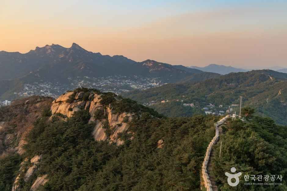
 인왕산
At a glance
Good to know now
KTO lists no stroller rental. Contact: Jongno-gu Office urban green space team, 02-2148-2835.
Hours
Open at all times.
Closed
Open all year.
Booking
Klook sells two guided hikes: a 3-hour Inwangsan and city wall hike from Sajik Park, and a 4.5-hour hike over Inwangsan and Bugaksan with lunch.
Inwangsan straddles Jongno-gu and Seodaemun-gu and is made entirely of granite, with oddly shaped rocks that have earned names such as Seonbawi ('Zen rock', like a monk in robes), Mojabawi (hat rock) and Dwaejibawi (pig rock), and Satgatbawi at the summit. From the top you look down on Gyeongbokgung and across to Naksan, Namsan and Baegaksan, the other inner mountains that ringed Joseon's capital. Its cliffs feature in famous landscape paintings, above all Jeong Seon's 'Inwang Jesaekdo', and a stretch of the city wall still runs over it from Sajik Tunnel to Jahamun Gate.
Book ahead
Paid links · These are affiliate links: when you book through them, K for All earns a commission at no extra cost to you. Booking, payment, cancellations and refunds are handled by the booking site — check its final terms before you pay.
Inwangsan Mountain · 4 tours & tickets- KlookInwangsan hike and historical sitesA small-group hike of about 3 hours from Sajik Park along the Seoul city wall to Inwangsan.Book
- KlookInwangsan and Bugaksan hiking tourA guided hike of about 4.5 hours over Inwangsan and Bugaksan, with a Korean lunch.Book
- GetYourGuideSeoul City Wall hike (18 km or half)A guided hike of the Seoul City Wall, full 18 km or a half course, with about two hours on Inwangsan between Bugaksan and Namdaemun Market.Book
- GetYourGuidePrivate evening & night views tourA private evening tour of Seoul with Cafe Pokpo, N Seoul Tower at nightfall, the Inwangsan viewpoint and a walk along the lit city wall.Book
Places to stay nearby
Paid links · Expedia links are affiliate links: when you book through them, K for All earns a commission at no extra cost to you. Distances are rough straight-line figures. Pick your dates on Expedia for live prices, and check each property's cancellation policy before you book.
Somerset Palace Seoul
Southeast of Inwangsan Mountain
About 2.2 km away
Map
Numbers match the list. Map data © OpenStreetMap contributors.
Tips
- The classic route starts near Sajik Tunnel, follows the city wall over the summit and comes down to Buam-dong.
- With energy to spare, continue from Buam-dong past Changuimun Gate onto Bugaksan, or walk down toward Gyeongbokgung.
Nearby
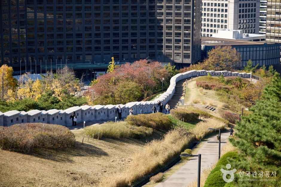 Seoul City Wall TrailAn 18.6 km walk around Joseon Seoul's city wall over Bugaksan, Naksan, Namsan and Inwangsan, split into four manageable sections.
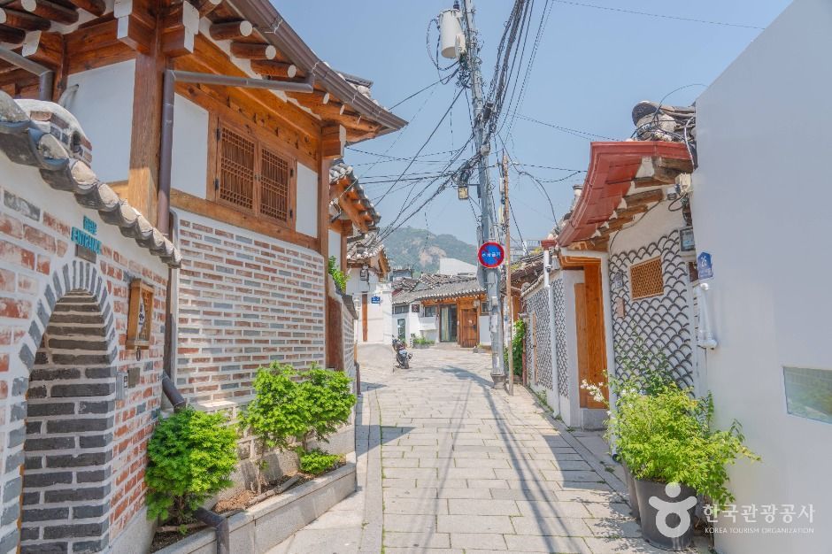 Seochon VillageThe old neighborhood west of Gyeongbokgung Palace: maze-like lanes of hanok, long-running shops, pastel murals and stylish new spaces.
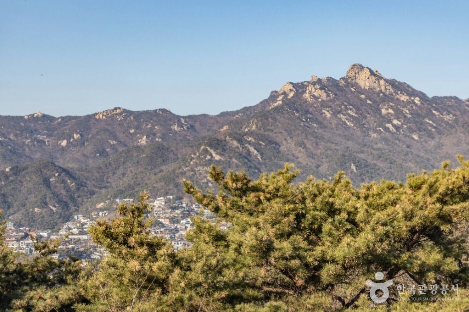 Bugaksan MountainThe 342 m peak behind Gyeongbokgung, where Seoul's old city wall begins, with oak woods and seasonal trail hours.
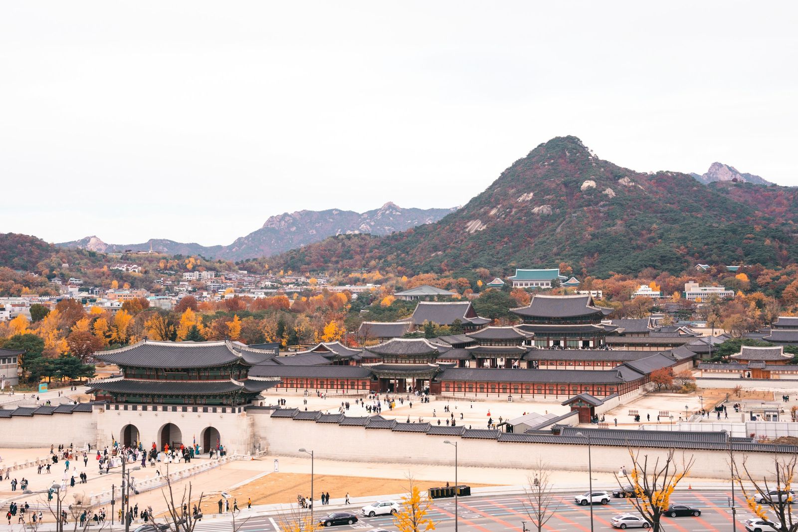 Gyeongbokgung PalaceJoseon's grandest palace: catch the royal guard change at Gwanghwamun, then wander the throne hall and pond pavilions beneath Bugaksan Mountain.
Facts and main photo: Korea Tourism Organization (TourAPI). The photo is used under KOGL Type 1 (Korea Open Government License, attribution). KOGL
Checked Oct 18, 2026