
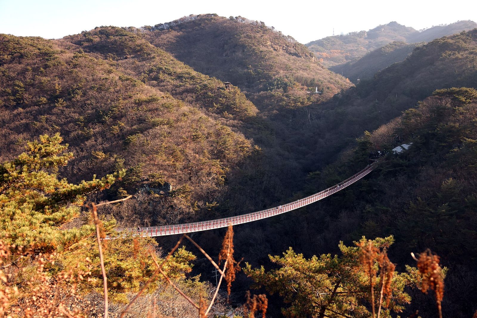
 감악산 출렁다리
At a glance
Good to know now
Parking is available.
Hours
09:00–18:00; call 031-950-1902 for details.
Closed
Open all year.
Booking
Klook, KKday and GetYourGuide sell DMZ day tours from Seoul that add a walk across the bridge, each with a talk or Q&A with a North Korean defector.
Gamaksan, one of the five sacred peaks of old Gyeonggi, takes its name from rocks said to give off both a black and a blue sheen. At the start of its circuit trail, a mountain suspension bridge with no towers reconnects the Seolma-ri valley where a road cut through it, built to sit lightly in the landscape. Beyond it, the Seolmacheon stream leads to Ungye Falls, which drops almost vertically and is used for ice-climbing practice in winter. Hikers who keep climbing pass a cave below Janggunbong peak where the outlaw Im Kkeok-jeong is said to have hidden, and the summit, close to the border, looks out over the Imjin River to Songaksan in Kaesong.
Book ahead
Paid links · These are affiliate links: when you book through them, K for All earns a commission at no extra cost to you. Booking, payment, cancellations and refunds are handled by the booking site — check its final terms before you pay.
Gamaksan Suspension Bridge · 3 tours & tickets- KlookDMZ & Gamaksan Bridge tour with defector interviewA full-day DMZ tour from Seoul with a walk on the Gamaksan suspension bridge and an interview with a North Korean defector.Book
- KKdayDMZ insider tour with suspension bridgeA DMZ day tour with the 3rd Tunnel, a meeting with a North Korean defector and the Gamaksan (or Majang Lake) suspension bridge.Book
- GetYourGuideDMZ tour + defector Q&AA guided DMZ tour from Seoul with the 3rd Tunnel, the Gamaksan suspension bridge and a Q&A with a North Korean defector.Book
Places to stay nearby
Paid links · Expedia links are affiliate links: when you book through them, K for All earns a commission at no extra cost to you. Distances are rough straight-line figures. Pick your dates on Expedia for live prices, and check each property's cancellation policy before you book.
Paju Gamaksan Sanchon Village Pension
Northeast of Gamaksan Suspension Bridge
About 2.3 km away
Hotel Brown Dot (Dongducheon Central Station)
Southeast of Gamaksan Suspension Bridge
About 10.2 km away
Map
Numbers match the list. Map data © OpenStreetMap contributors.
Tips
- If you have time after the bridge, follow the Seolmacheon valley to Ungye Falls.
Nearby
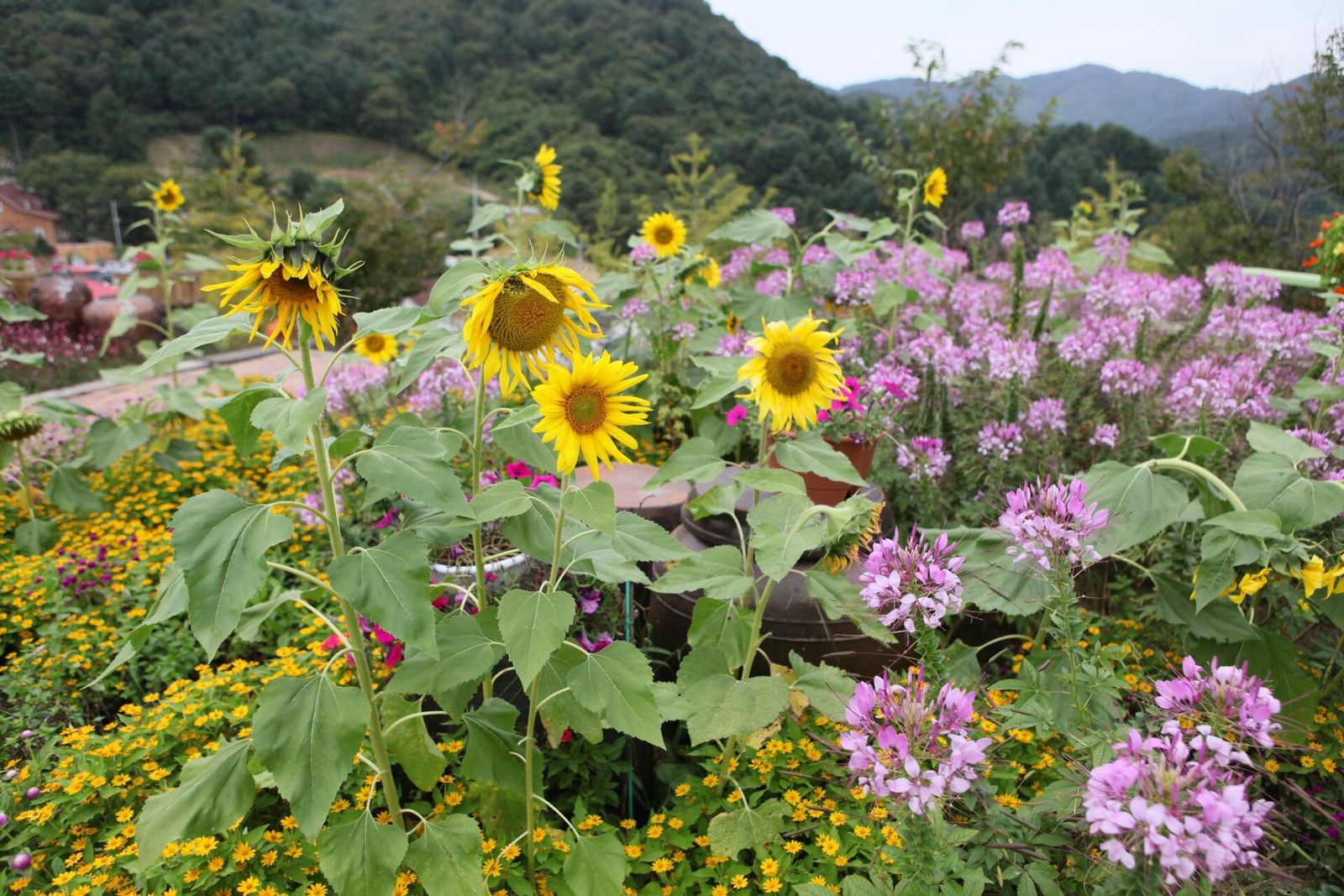 Herb IslandA big herb farm and botanical garden in Pocheon that stays open into the evening and is known for its night light festival.
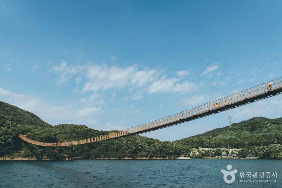 Majang Lake Suspension BridgeA 220 m footbridge across Majang Lake in Paju, with a see-through glass section in the middle for those who dare.
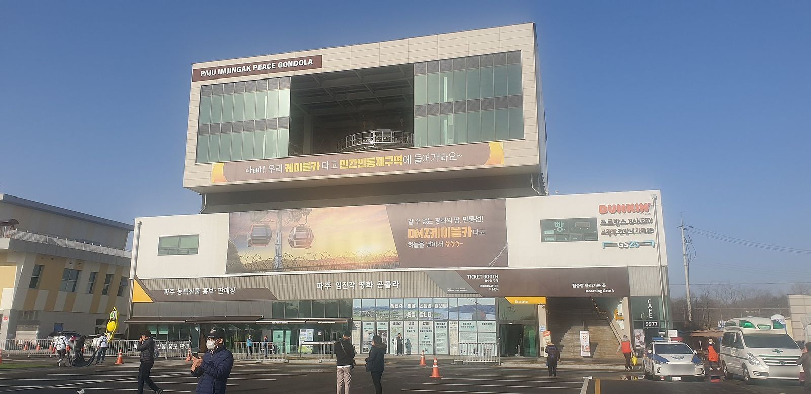 Imjingak Peace GondolaA gondola from Imjingak across the Imjin River into the civilian control zone toward Camp Greaves, with glass-floored cabins.
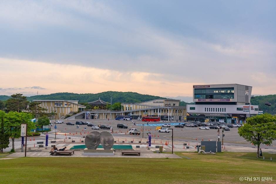 Imjingak and Pyeonghwa-Nuri ParkPaju's peace park on the Imjin River near the DMZ, with a prewar train, a bombed-out railway bridge and the Mangbaedan altar facing the North.
Facts from the Korea Tourism Organization (TourAPI). KOGL
Sources (5)
Korea Tourism Organization (TourAPI)KlookKKdayGetYourGuidePhoto: Gage Skidmore / Wikimedia Commons (CC BY-SA 4.0), resized
Checked Oct 18, 2026